DIGIPIN for Logistics: A More Precise Answer to “Where Exactly?”
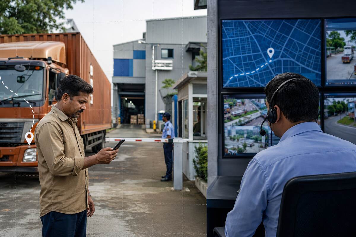
In Indian logistics, the final few hundred metres can consume more time than the previous several kilometres. A driver may reach the correct industrial estate but still circle the site looking for the right gate. At a rural facility or construction project, the receiving point may also be difficult to describe.
These delays often begin with an address master that identifies a broad destination, but not the exact arrival point. DIGIPIN for logistics can add that precision while retaining the familiar postal address and practical delivery instructions.
What Is DIGIPIN?
DIGIPIN is India Post’s open-source, geo-coded addressing system, developed with IIT Hyderabad and NRSC, ISRO. It converts latitude and longitude into a unique 10-character code for an area of approximately 4 metres by 4 metres.
A PIN code identifies a broad postal area. A DIGIPIN identifies a much smaller geographic square. Think of the postal address as the name of a large industrial campus and the DIGIPIN as the precise point near the correct receiving gate.
DIGIPIN does not replace a conventional address. India Post describes it as an additional digital layer. Its open encoding and decoding logic can work offline, although accuracy still depends on the coordinates captured by the device.
Where Address Ambiguity Delays Deliveries
Location uncertainty appears in many freight movements:
- An industrial plant has several gates, but only one accepts inbound materials.
- A warehouse sits behind another building and cannot be seen from the main road.
- A rural collection centre has no consistent street numbering.
- A new project does not yet appear correctly on common maps.
- A construction site changes its unloading zone as work progresses.
The driver may call several people or wait near the wrong entrance. The vehicle loses time, the receiving team waits, and the control room handles an avoidable problem.
Build a Better Address Master
A useful address master should store more than one location field. For each shipper, consignee, warehouse or project site, it can include:
- Complete postal address and PIN code
- Verified latitude and longitude
- DIGIPIN stored as a continuous 10-character value
- Recognisable landmark and approach-road notes
- Approved gate, dock or unloading point
- Receiving hours, entry restrictions and appointment rules
- Site contact and escalation details
- Vehicle restrictions, parking guidance and safety instructions
- Verification date, source and record owner
This structure separates geographic precision from operating instructions. DIGIPIN can guide the truck to a small area, but it cannot say that Gate 2 closes after 6 pm or that heavy vehicles must use the eastern road.
Connect DIGIPIN With Logistics Workflows
Once verified, the location record can support several processes. A booking system can retrieve the correct destination instead of relying on free-text entry. A transport management system can send the code and coordinates to a driver application, while navigation guides the driver towards the approved entry point.
A geofence can use the verified coordinates to trigger an arrival event. The control room can compare planned and actual arrival times, while proof of arrival captures the time, location and evidence. This can reduce calls and reveal detention or site-access delays.
Businesses should test compatibility before automation. Official guidance says systems should store DIGIPIN as a continuous 10-character identifier without spaces or punctuation.
Start With a Controlled Pilot
PTC recommends beginning with locations where address confusion frequently causes delays. A pilot could include ten industrial gates, rural facilities or project sites across two or three regular lanes.
Ask an authorised site representative to confirm the receiving point. Capture the coordinates there, generate the DIGIPIN and test the route with drivers who know the site. Compare wrong-gate incidents, arrival calls, approach time, detention and failed deliveries before and after the pilot.
Drivers should report whether the selected point works for the vehicle. A precise location can still be operationally wrong if it points to an office entrance instead of the truck gate.
Correct weak records before expanding. Keep DIGIPIN optional until the team defines validation, correction and fallback procedures.
Protect Location Data and Keep a Fallback
India Post states that a DIGIPIN contains no personal information because it represents a location. Yet an address-master record may link it to a customer, supplier or private facility. Companies should collect it with proper authority, explain its use, restrict access by role and maintain a correction trail.
Without a verified DIGIPIN, the shipment should continue using the postal address, coordinates, landmarks and phone confirmation. A digital field should improve delivery, not become a reason to reject a booking.
Precision Works Best With Operational Context
DIGIPIN can make Indian logistics addresses more precise, but it works best with verified coordinates, clear gate instructions and disciplined data ownership. This can turn “near the factory” into a destination that drivers, systems and receiving teams understand in the same way.